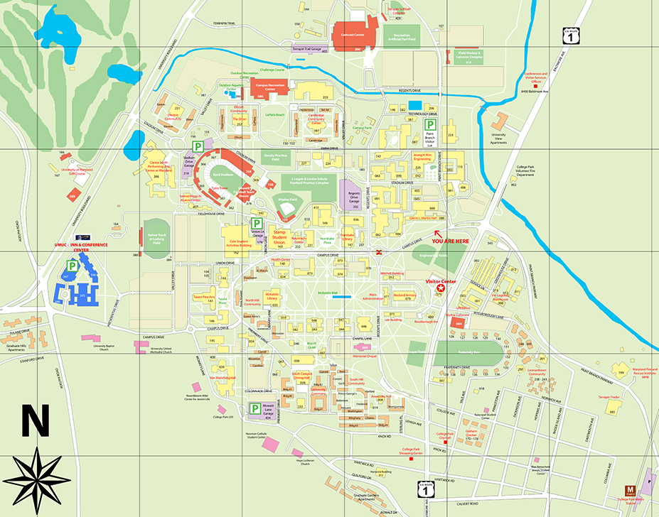
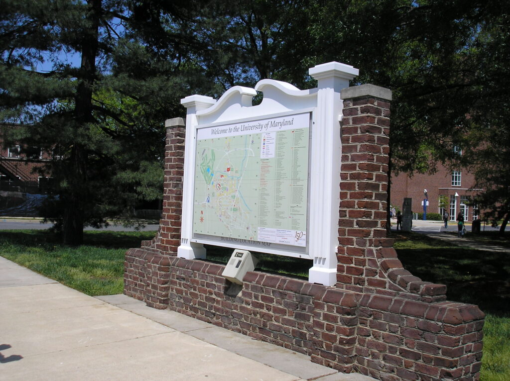
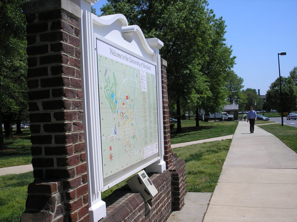
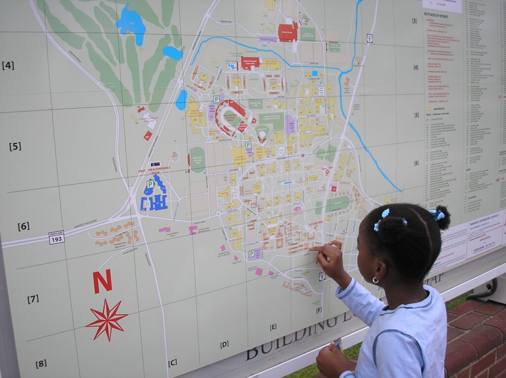
A practical application example, the initial goal is to replace the existing monochromatic map for arriving visitors – who found the map unrelatable and hard-to-read. Using topographic mapping and current space data, the resulting digital master file can be periodically updated and synchronized with a web-based map.
Key stakeholders include: Visitor and Conferences Services, Campus Safety.